Sale!
An 1840 folding map of Central Europe the tourist
£95.00 £80.00
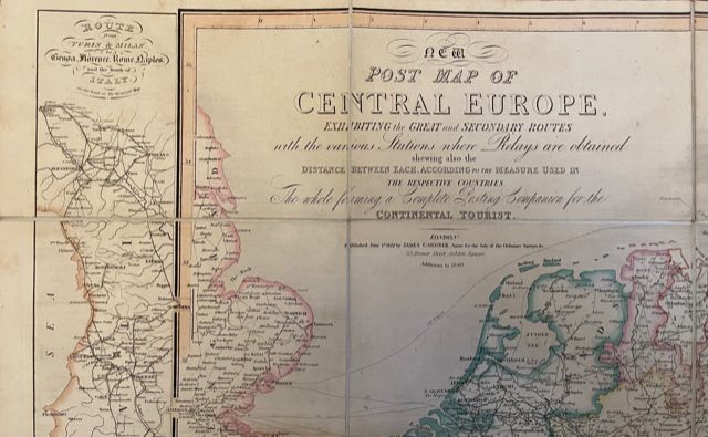
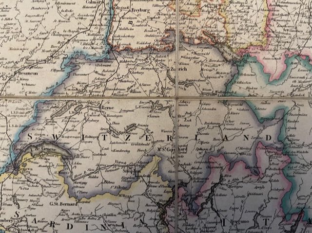
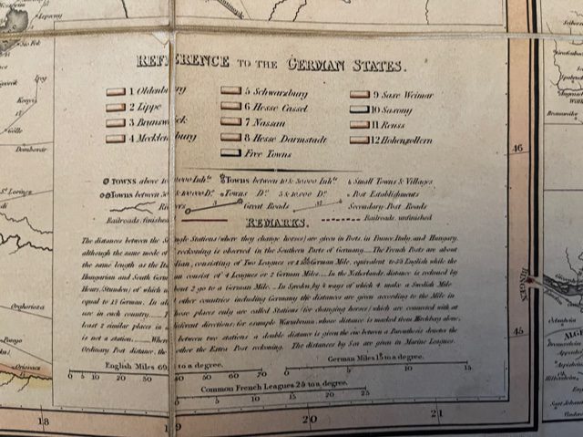
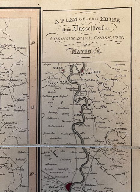
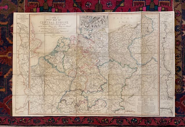
New Post Map of CENTRAL EUROPE, exhibiting the great and secondary routes with the various Stations where Relays are obtained, showing also the Distances between each according to the measure used in the respective Countries. The whole formoiomg a Complete Posting Companion for the Continental Tourist. James Gardner, 33 Brewer Street, Golden Square, London.1827 with additions to 1840.
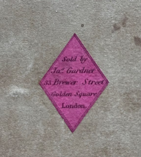
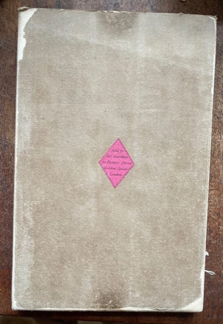
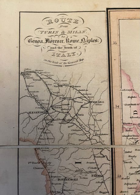
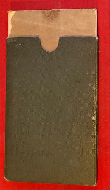
A good folding map, linen-backed, coloured in outline, 39½ x 25 ins when fully opened and folding down to a size of 8 x 5 ins. It has a green cloth covered slip case with red leather gilt title CENTRAL EUROPE to the spine and the endpapers with a map seller’s label showing that the map was sold by Jas. Gardner, 33 Brewer Street, Golden Square, London. The map extends from Limoges and London in the west to Debreezen in Hungaty in the east. and from the Baltic in the north to the Gulf of Venice in the south. The left hand edge of the map shows Route from Turin & Milan to Genoa, Florence, Venice, Naples and the south of Italy and a strtp at the right edge showa A Plan of the Rhine from Dusseldorf to Cologne, Bonn, Coblentz, and Mayence. A map which shows Europe at point where the more ordinary tourist was developing from the eatlier traller on the Grand Tour. mar1/4
1 in stock
