

")
")
")
")
")

Cotton in India. with large folding maps of the Punjab and Sind
£60.00
Report of the Indian Cotton Committee. 1919. Supt. Govt. Printing (Calcutta) 1919 1st edition folio. [Although not mentioned on the title page, the contents list refers to this as Volume 1 ]
5 large partly coloured folding maps, (2 cotton maps of India, irrigation maps of Punjab & of United Provinces & of Sind folding plans of model ginning factory), viii.201pp. Original printed paper covered boards with blue cloth spine, covers soiled, worn at extremities, rear endpaper split along hinge but binding holding well on cords, contents clean, small library withdrawal stamp to top corner of front free endpaper, all maps and plans are linen mounted and the glue used discolours the surface of the maps somewhat. after a brief introduction Part II of the report deals with the various cotton producing areas of India in detail with particularly substantial sections on the Punjab, Sind, Bombay, and Madras but with sections on other areas such as North West Frontier, Burma, etc. Part III deals with commercial factors of manufacture and marketing, statistics, formation of the Cotton Committee, appendices dealing with world comparisons etc, particularly with American cotton. oct15/3
1 in stock
Related products
-

ABOR. A contemporary account of the Abor Expedition of 1911/12
POA Read more -
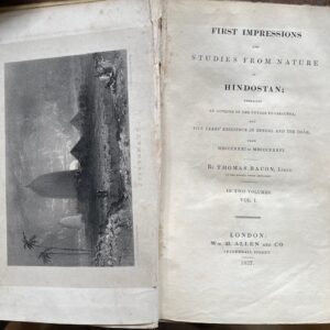
Bacon’s Impressions of Hindostan, 1837, Volume 1 only [of 2]
£70.00 Add to basket -
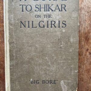
Guide to big game hunting in the Nilgiris, 1924
£145.00 Read more -
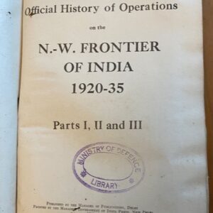
North West Frontier: Official History of Military Opertions 1920 -1935
£560.00 Add to basket