

Folding maps other than India
This category shows folding maps from areas other than India and Central Asia. Most will be from the 19th century and earlier. Last updated 23rd November 2025
Showing 1–12 of 44 results
-
Sale!
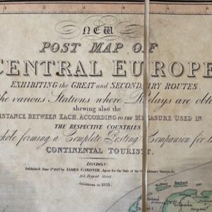
A London printed map of Central Europe, published 1827 with additions to 1831
£90.00£75.00 Add to cart -
Sale!
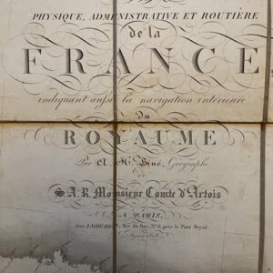
A Louis XVIII post restoration folding map of France, 1818
£265.00£230.00 Add to cart -
Sale!
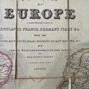
A post map of Europe including England, France, Germany, Italy. &c. Mid 19th century
£120.00£100.00 Add to cart -
Sale!
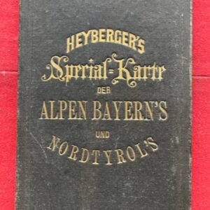
A special German map of the Bavarian Alps and North Tyrol, late 19th century.
£65.00£45.00 Add to cart -
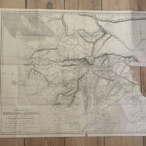
AFGHANISTAN. A damaged folding map from the period of the 1st Anglo-Afghan War, 1838
£15.00 Add to cart -
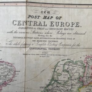
Sale!
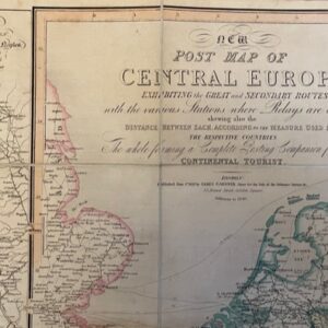
An 1840 folding map of Central Europe the tourist
£95.00£80.00 Add to cart -
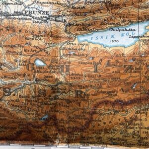
CENTRAL ASIA. A large folding map produced by the War Office in 1931
£25.00 Add to cart -
Sale!
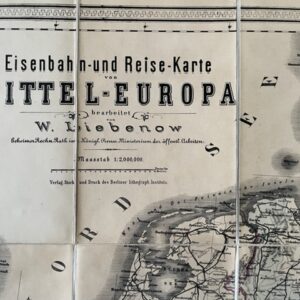
CENTRAL EUROPE. A German printed Railway and Route Map of 1890.
£70.00£60.00 Add to cart -
Sale!
CENTRAL EUROPE. A George IV period post map for the Continental Traveller, 1827
£150.00£130.00 Add to cart -
Sale!

Champagne and Brie. A large two sheet French map by Bazin, 1790.
£230.00£200.00 Add to cart -
Sale!
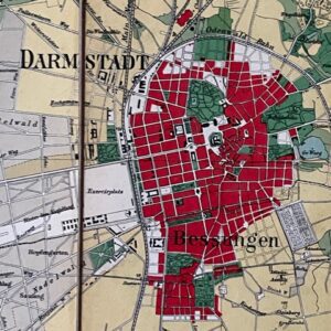
DARMSTADT, a coloured map of part of the German State of Hesse centred on the uty of Darmstadt
£35.00£30.00 Add to cart -
Sale!
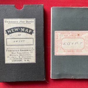
Egypt, Arabia Petraea. A late 19th century folding map.
£90.00£75.00 Add to cart