


INDIA. Road map on a scale of 1 inch to 50 miles, printed around the time of independence
POA
ROAD MAP OF INDIA. Scale 50 miles to an inch. Survey of India [Calcutta] 1948, 6th edition of a map first published in 1929.
A ;arge folding map on paper, roads coloured in red.The clean map is 44 x 31 ins unfolded and folds down to 7½ x 5¼ ins with Survey of India label. This is presumably the last edition of this map to be produced during the British period. There is an inset map of Baluchistan on the Persian Gulf to one side and of Burma on the other. The map is in good order with just a few very small holes at some intersecting poins of folds. The cover is stamped The English Book Depot JHANSI. aug2/3 SOLD 13th Seprember 2022
Sold
Related products
-
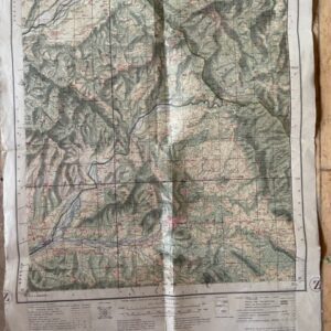
Kashmir & Jammu, Punjab & Punjab States, 1 inch map No 43 P/15
£15.00 Add to cart -
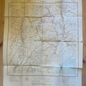
BURMA. Folded paper map No. 85 P MA-UBIN Survey of India 1926
£20.00 Add to cart -
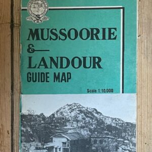
MUSSOORIES & LANDOUR. Large scale folding coloured map of the former hill stations by the Survey of India, 1968
£18.00 Add to cart -
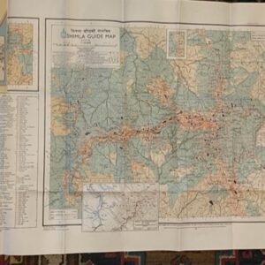
SHIMLA. A large scale guide map. surveyed in 1968
£35.00 Add to cart