



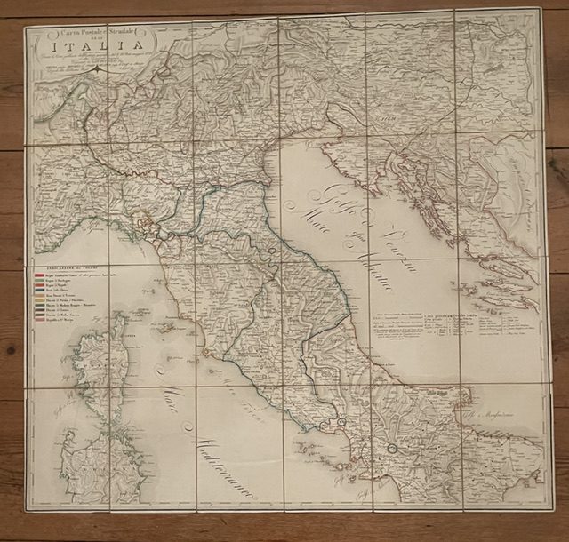
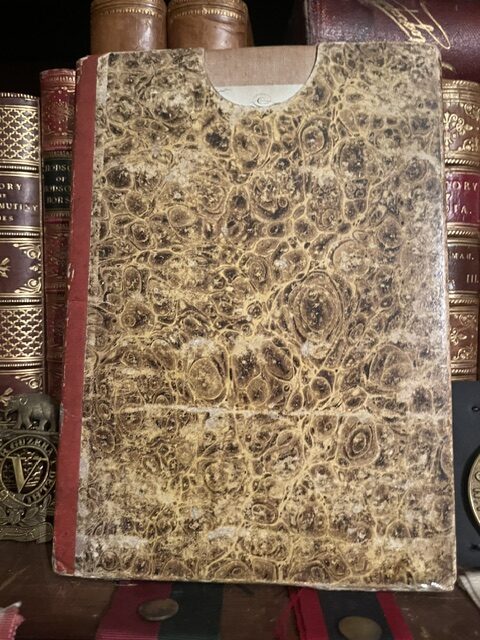
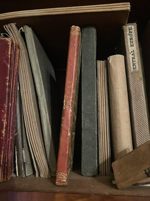
ITALY A handsome folding map of Italy, published in Vienna 1821 with Italian text.
£125.00
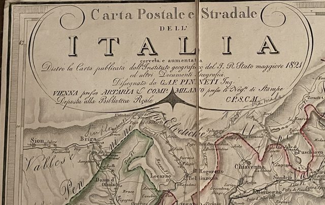
Carta Postale e Stradale dell’ ITALIA correta e aumentata Dietro la Carta publicata dell’ Instituto geographico del’ T. R. Stato maggiore 1821 … Dissegnatoda G.LE PINNETI Ing. VIENNA presso ARTARIA & Comp. MILANO presso le Negte. di Stampe Deposita alle Bibliotca Reale.
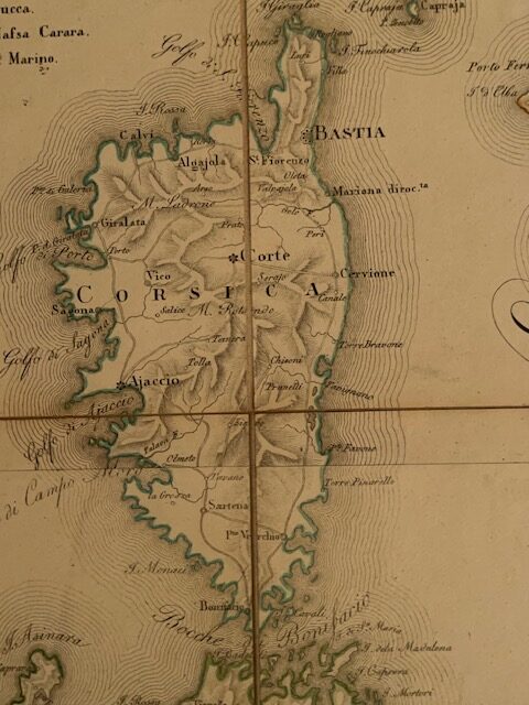
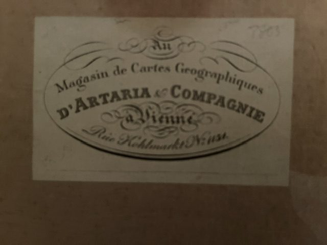
Folding map, dissected, linen backed, unfolded size 31 x 29½ ins [79.5 x 78 cm]. coloured in outline, folding down to a size of 7¾ x 5 ins [19 x 13.5 cm]. The map has a D’Artaria label to an endpaper and fits into a marbled paper covered slip case with a red leather spine with faded gilt title.The map extends from Vienna in the north eastern top as far south as far south as the Gulf of Salerno and from Turin in the west to Taranto in the east. Corsica is shown in full and so is the northern half ofSardinia. sep1/1
Related products
-
SARDIN IA. a partially coloured folding Italian map of the Kingdom of Sardinia, 1851
£60.00 Add to cart -
Sale!
German map of Nassau and neighbouring states.
£90.00£60.00 Add to cart -
Sale!
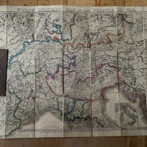
Wyld’s Military Map of the Theatre of War. circa 1850s
£175.00£145.00 Add to cart -
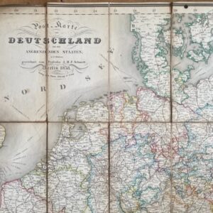
Germany, an 1838 folding map of the area and bordering states.
£95.00 Add to cart