


LINCOLNSHIRE. A George II period folding map with historical information
POA
An accurate Map of Lincolnshire divided into Wapentakes. Laid down from the best Authorities and most approved Maps and Charts…. Eman. Bowen [London] c 1750s. SOLD 16th July 2024
Folding, dissected and linen mounted map with hand colouring, 21 x 28 ins unfolded, dedicated to Peregrine Bertie, Duke of Ancaster. The map folds down to a size of 7 x 5 ins and has a manuscript title Lincoln to the endpaper.The map is quite clean and the colours are still fresh. A particularly attractively coloured example with lots of historical and geographical detail around main map. mar20/2
Sold
Related products
-
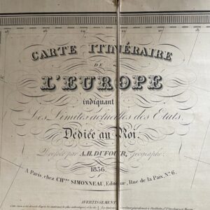
EUROPE. A large folding map of 1836 with French text.
£40.00 Add to basket -
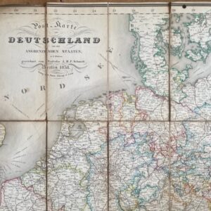
Germany, an 1838 folding map of the area and bordering states.
£95.00 Add to basket -
Sale!
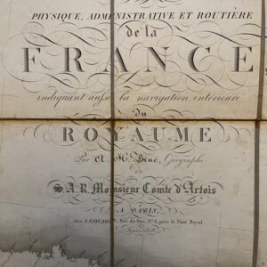
A Louis XVIII post restoration folding map of France, 1818
£265.00£230.00 Add to basket -
Sale!
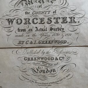
Greenwood’s map of the county of Worcester, 1830
£85.00£65.00 Add to basket