


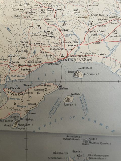
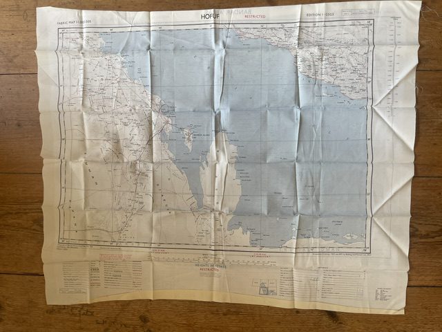
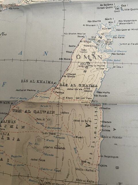
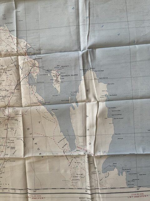
Strait of Hormuz. An official, double sided, folding fabric map of the Persian Gulf dating from 1957
POA
FABRIC MAP 1:-1,000,000, one side BANDAR ABBAS, the other HOFUF. Published by War Office 1957. The map measures 28½ x 23 ins and is in good condition although it has been carelessly folded at some time [I have not tried to improve this].The BANDAR ABBAS side shows the southern coast fron Qantar in Abu Dhabi, Oman with the coast line as far as Sohar, On the northern side Kharg Island is shown with an earlier name Qishm Island. The HOFUF side of the map shows Bahrain island roughly in the centre. These fabric maps were particularly used in the Air Ministry and were also useful in hot areas where paper would deteriorate quickly. jul29/4 SOLD 18th August 2026
Sold
Related products
-
ORKNEY ISLANDS. Folding reduced Ordnance folding map
POA Read more -
Sale!
European Railway map, Vienna 1861
£165.00£150.00 Add to cart -
Sale!
Wyld’s Military Map of the Theatre of War. circa 1850s
£175.00£145.00 Add to cart -
Sale!
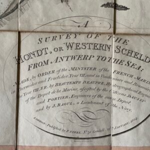
Survey of the Western Scheldt, published in London 1804
£775.00£690.00 Add to cart