Sale!
Survey of the Western Scheldt, published in London 1804
£775.00 £690.00
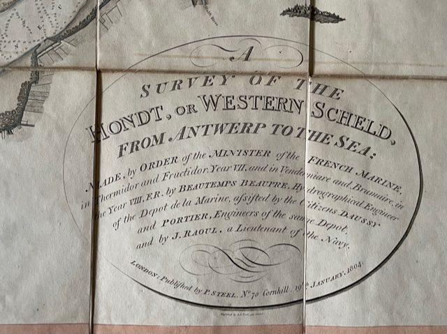
A Survey of the Hondt, or Western Scheld, from Antwerp to the Sea; made by Order of the Minister of the French Marine in Thermidor and Fructidor, Year VII … by Beautemps Beaupre, Hydrographocal Engineer of the Depot e la Marine…assisted by the Citizens Daussy and Portier, Engineers of the same Depot, and by J Raoul, a Lieutenant of the Navy. published by P. Steel [London] 19th January 1804
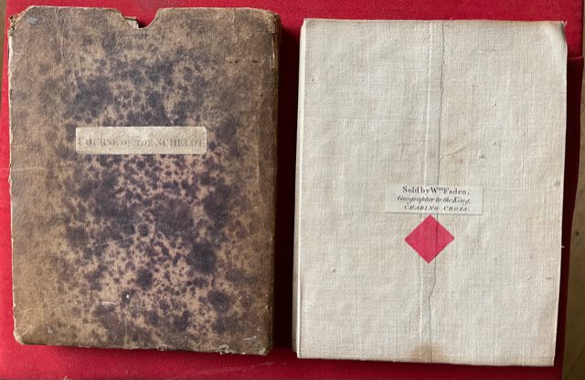
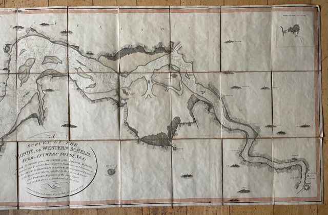
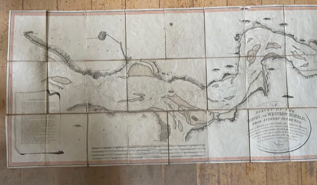
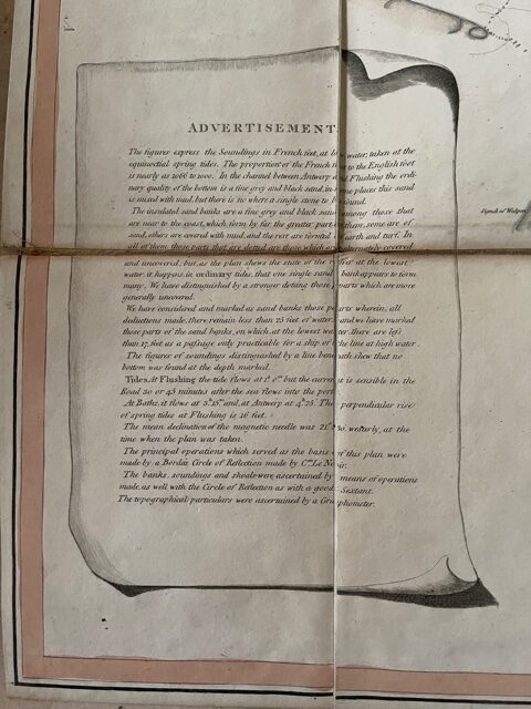
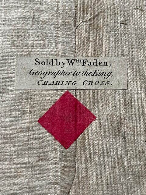
A very large folding map [over six feet long] coloured blue along the banks of the river estuary, dissected, linen-backed, on a scale of approximately 2 miles to 3 inches, fully extended 25 x 75ins. The map, which is in good, sound condition, folds down to a size of 7 x 8½ ins and retains its contemporary slipcase of mottled paper covered card with a printed label COURSE OF THE SCHELDT, when folded one end of the map has a small supplier’s label of Faden, Charing Cross, London. The map extends from Flushing [Vlissingen] on the left as far as Antwerp [Anvers]. Interestingly the map retains in its full title the use of the revolutionary months and years [Fructidor, Brumaire, etc of Years VII & VIII]. The Advertisement on the left of the map gives some detailed information of use to mariners about the soundings, tides, etc. Other towns along the route include Middleburg, Ossenesse, and Terneuse and there is a small inset enlarged plan of Bergen op Zoom top right. A very impressive and well preserved survival from the period of the revolutionary and Napoleonic wars. mar1/2
1 in stock

