

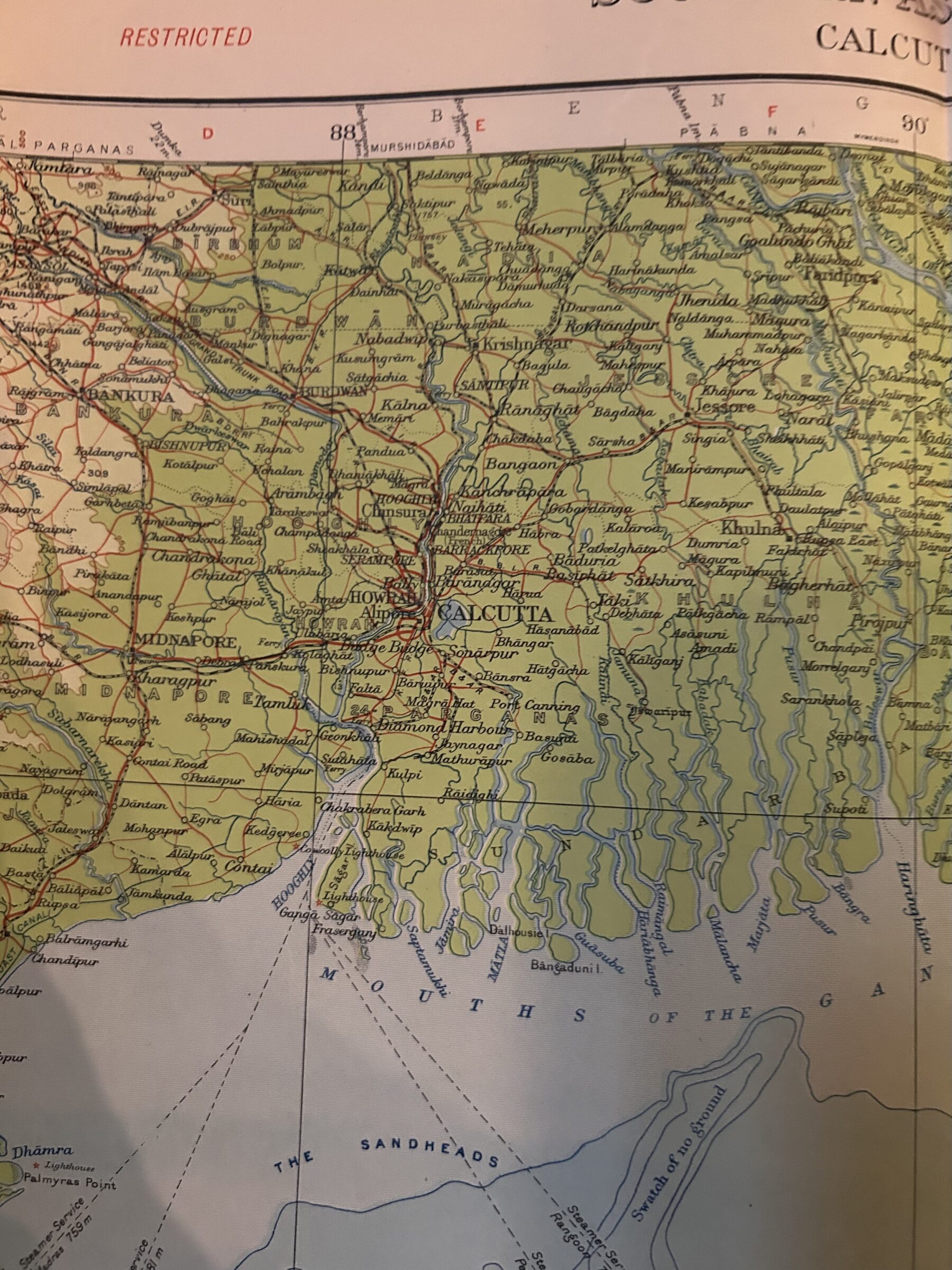
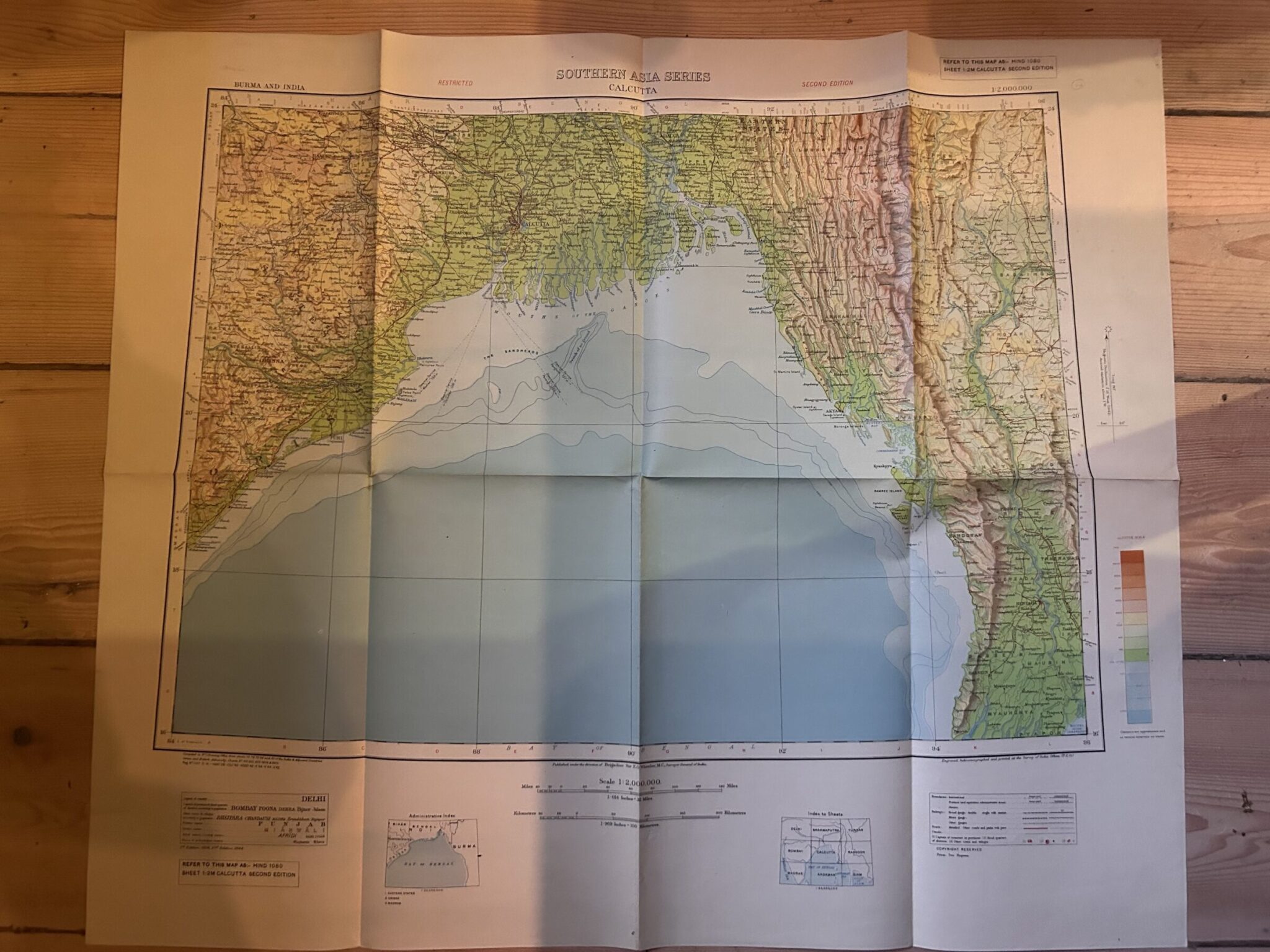
CALCUTTA, A coloured folded map of 1944 in the Southern Asia Series.
£25.00
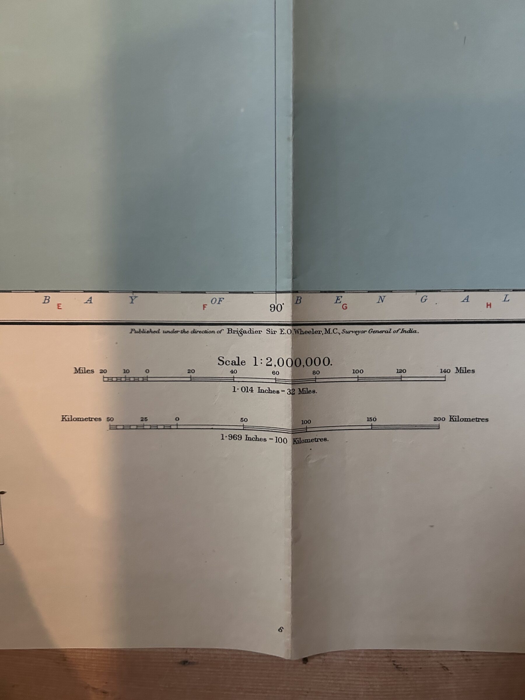
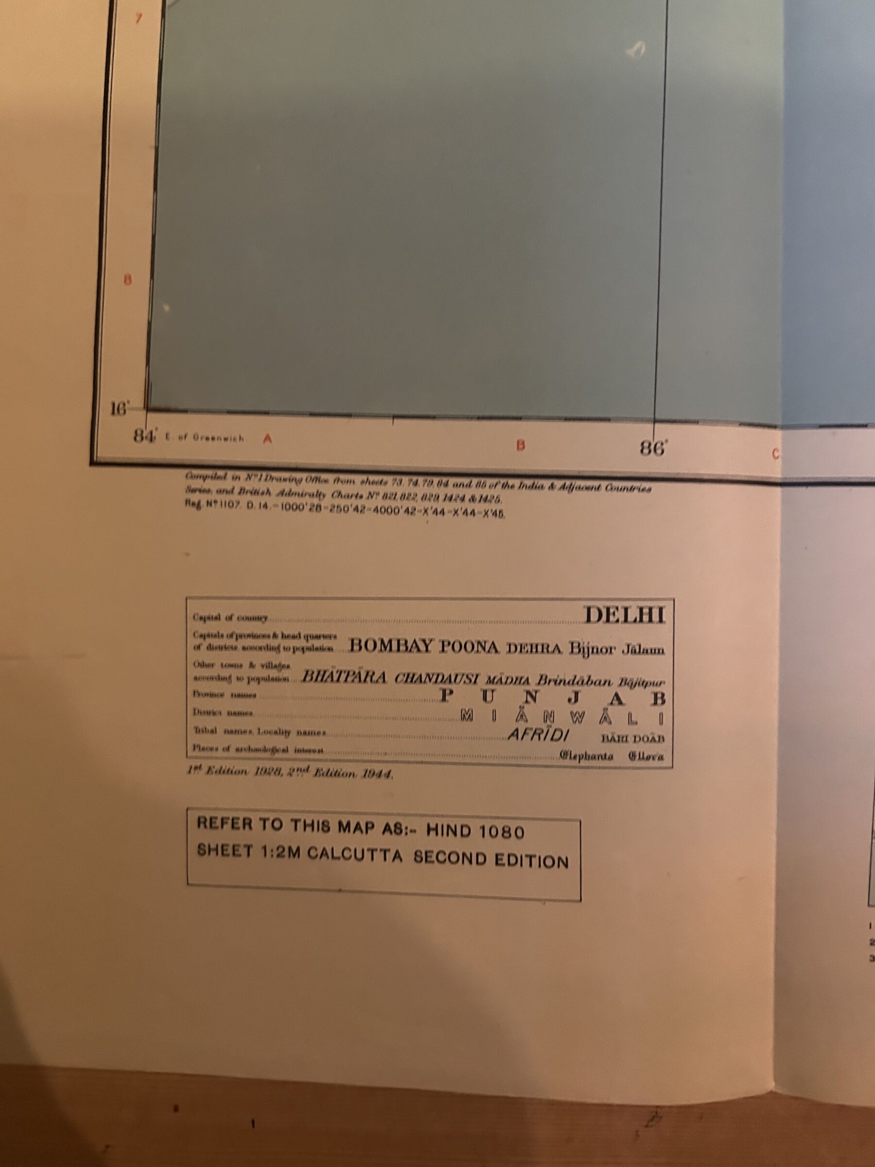
CALCUTTA. WW2 Period. Map no HIND1080 Sheet 1:2M Calcutta Second Edition. A folded coloured map, measuring 29 ½ by 25.2 inches [75.3cm by 64.2cm] on a scale of 1 : 2,000,000. Burma and India. Survey of India 1944 Second Edition (Reprint of 1928 First Edition). The map extends from Dacca in the North to the Bay of Bengal in the South and from Orissa in the West to Sagaing in the East. The map is folded to a size of 7½ by 12.6 inches. Nov16 /4.
1 in stock
Related products
-

BIKANER. A sheet of folded writing paper from Gajner Palace
£25.00 Add to cart -
Field Marshal Sir John Fox Burgoyne, G.C.B., cdv and signed letter 1868 to Gen Riddell, both engineers.
£175.00 Add to cart -

King George VI. a printed letter to Officer Cadets passing out from Sandhurst in June 1947
£60.00 Add to cart -
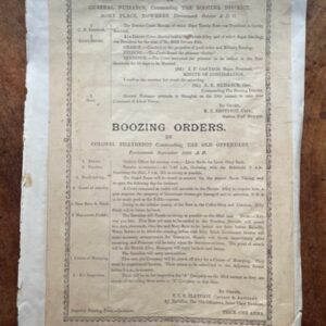
CANTEEN ORDERS. A humorous broadsheet in the manner of military orders.
£25.00 Add to cart