



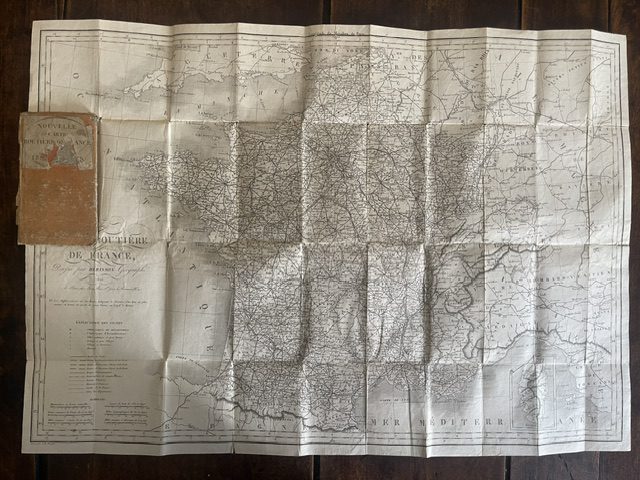
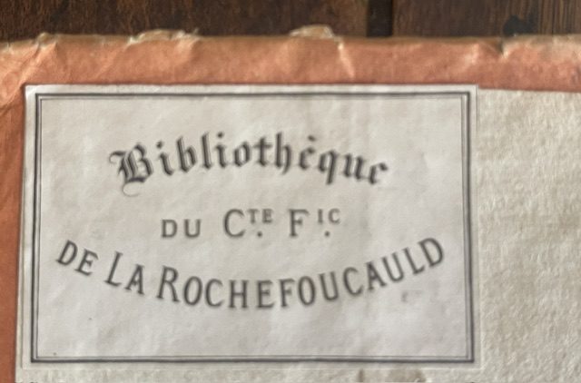
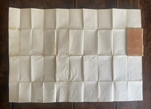
FRANCE. A folding route map of 1825
£45.00
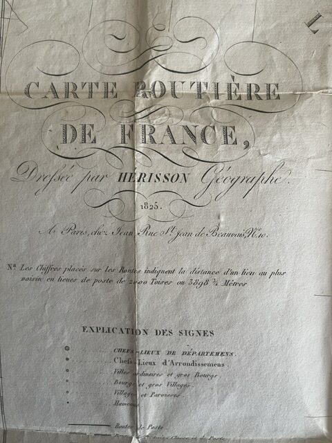
FRANCE. Carte Routière de France. Dressée par Hérisson Géographe. 1825. A Paris, chez Jean, Rue St. Jean de Beauvais, No.10
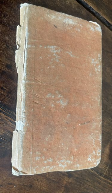
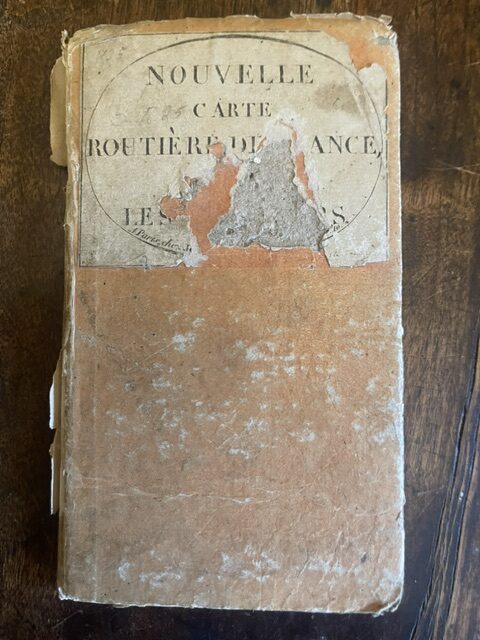
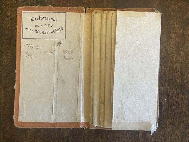
Folding, uncoloured map on strong paper, 29½ x 21ins unfolded showing the whole of France in the first full year of the reign of King Charles X. There are a few small holes at intersections of the folds, the original paper covered boards have areas of paper missing, particularly to the spine and the original printed title label is very damaged. The map folds down tom a size of 6½ x 3½ ins [16 x 8 cm], a very handy pocket size and it has seemingly seen much use in and out of pockets. aug31/1
1 in stock
Related products
-
Sale!

GERMANY. Folding map by F.M. Diez in original slipcase, 1825
£125.00£110.00 Add to cart -
TYROL. A Geman folding map of southern Germany and the Tyrol, probably 1850s
£20.00 Add to cart -
Sale!
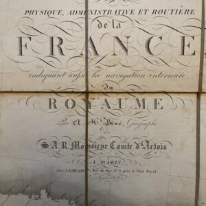
A Louis XVIII post restoration folding map of France, 1818
£265.00£230.00 Add to cart -
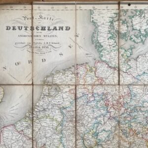
Germany, an 1838 folding map of the area and bordering states.
£95.00 Add to cart