Sale!
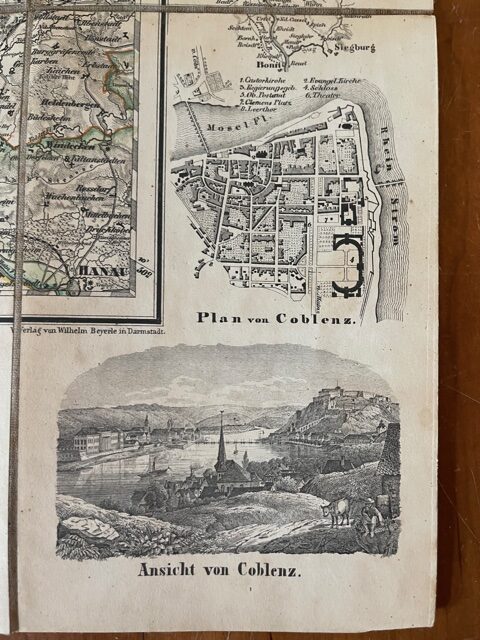
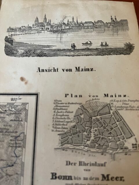
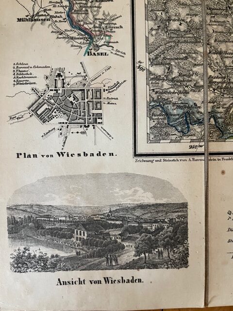
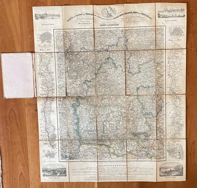
German map of Nassau and neighbouring states.
£90.00 £60.00
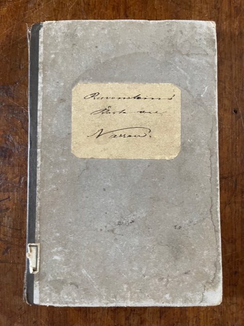
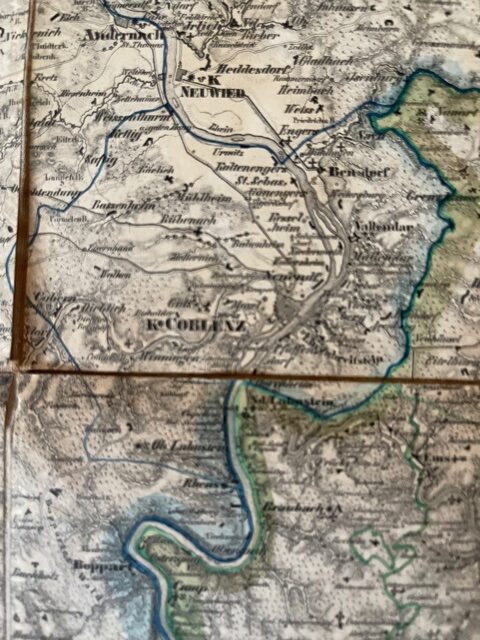
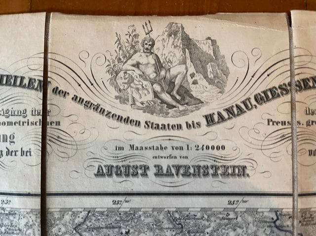
Ravenstein, August: Karte von Nassau und Theilen von Angrenzenden Staaten bis Hanau, Giessen, Olpe, Bonn und Creuznach. Ravenstein, Frankfurt am Main.
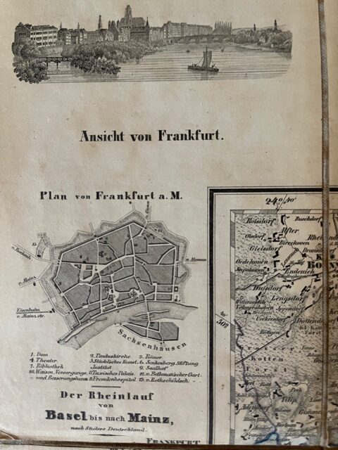
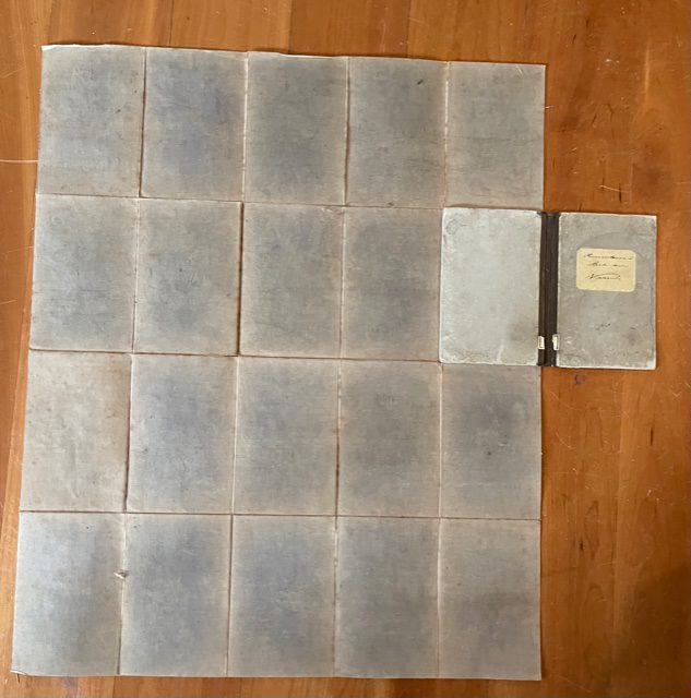
Folding map, dissected, linen-backed, coloured in outline extending to 71 x 58cm [23 x 28ins] when unfolded. The map folds down in 20 plates to a size of 7 x 4.5ins [17 x 13.5 cm] into contemporary paper covered boards with contemporary manuscript title label Ravenstein’s Karte von Nassau, cloth spine of the case is splitting along hinges. The attractive map has small views and town plans around the border of Basel, Frankfurt, Mainz, Bonn, Wiesbaden, and Coblenz. At either side of the main map are river routes along the Rhine from Mainz to Basel and Bonn to Coblenz. The map itself is clean and sound. It is undated but probably late 19th Century. mar8/1
1 in stock

