- Sorry, this product cannot be purchased.
Sale!
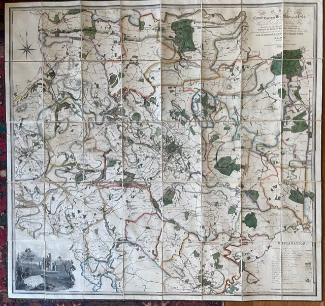
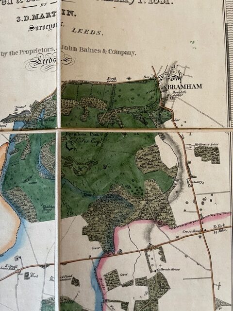
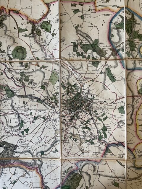
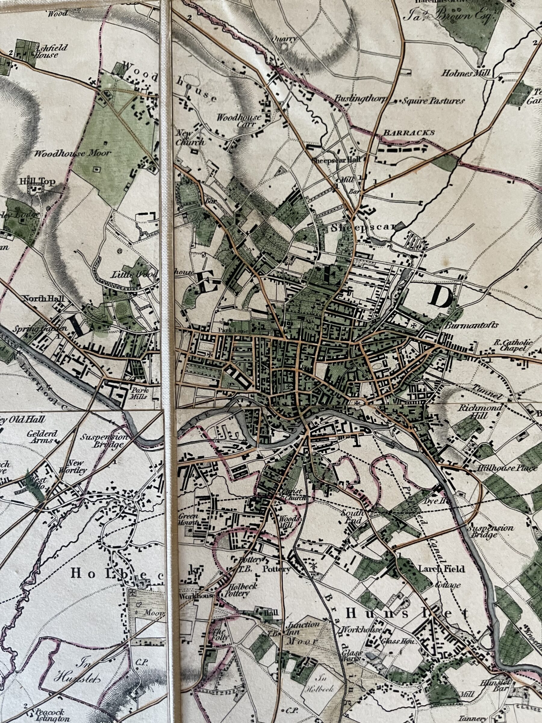
LEEDS. Martin’s large scale map of the area around the Leeds, printed in 1831
£650.00 £590.00
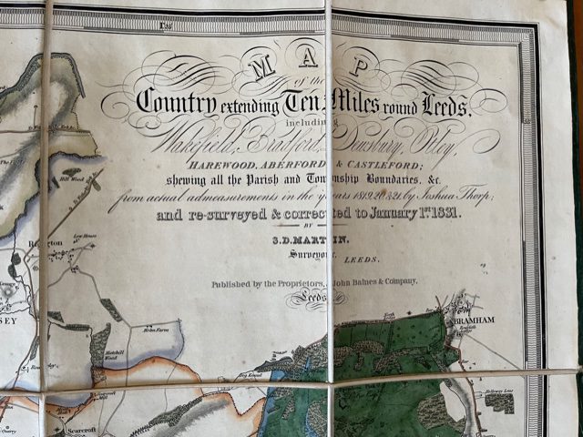
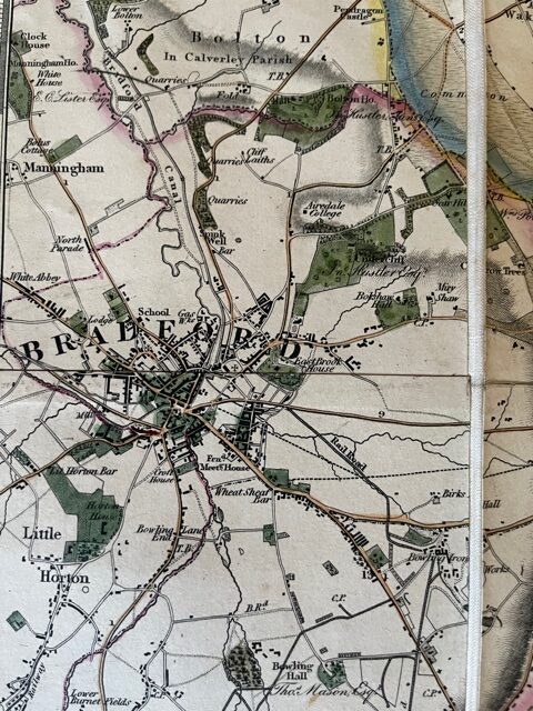
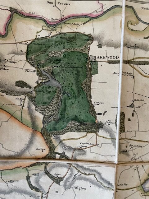
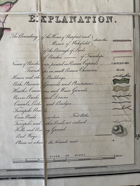
A map of the Country extending Ten Miles round Leeds, including Wakefield, Bradford, Dewsbury, Otley, Harewood, Aberford & Castleford: shewing all the Parish and Township Boundaries, &c. from actual admeasurements in the Years 1819, 20 &21 by Joshua Thorp and subsequently re-surveyed and corrected to January 1st 1831 by S. D. Martin, Surveyor, Leeds. John Baines [Leeds] 1831.
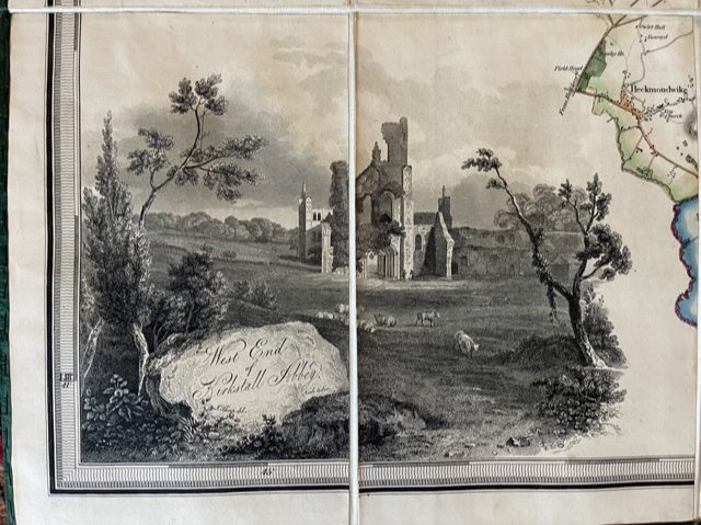
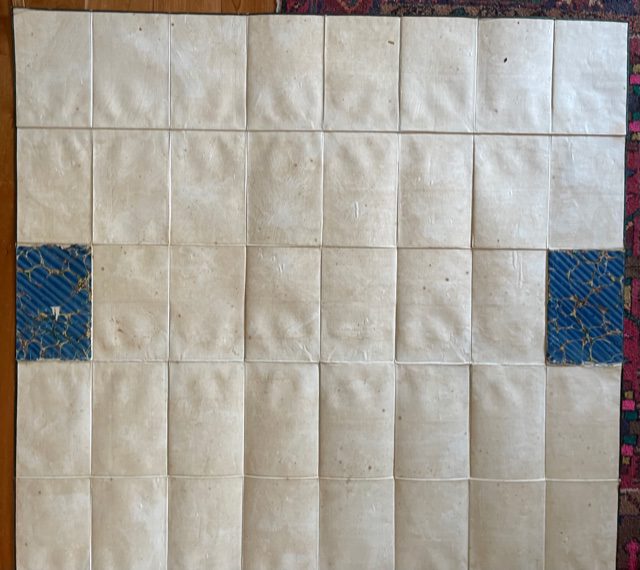
A large folding map, linen-backed and coloured, on a scale of approximately 2¾ inches to 1 mile, extending unfolded to 49 x 46 ins, folding down to a size of 9½ x 6½ ins. The map, edged with green linen retians its original marbled paper covered endpapers but has no slip case. An excdeptonally attractive and informative map of this area of west Yorkshire, extending from Harewood, Leathley, and Otley in the north to Dewsbury and Wakefield in the south, and from Bradford and Cleckheaton in then west to Bramham,. Aberford, and Castelford in the east. The lower left corner has an engravig of the the Cistercian Kirkstall Abbey in Leeds. Printed at the very beginning of the railway age the map shows the first impressions on the landscape as the Parliamentary Line of the Leeds and Selby Railway and the proposed Leeds and Bradford Railway: otherwise this is still the largely rural lanscape of the late industrial revolution. One of the most interesting features of this map is its showing the names of owners of the major estates. These incliude: Rev Richard Ridley, Rev. A Fawkes, Jas Dinwiddie, Earl of Harewood,John Wormald, Rev. J. A. Rhodes, Thos Benyon, Sir John Beckett, Mrs Nicholson, John Shadwell, G. Lane Fox, R. O. Gasgoigne, Marchioness of Hertford, G. Wright, Benjamin Gott, Col. J. A. Tempest, John Hustler, Sir John Lowther, J. Brandling, John Blaydes, Earl of Mexborough, J.B.D. Bland, Francis maude, Arthur Heywood, Sir Edward Dodsworth, Henry Leah, Henry Dawson. Many of these names still crop up in local society and the names of several are attached to important, now public parks. We also have a copy of the 1849 edition which shows the progress the railways have made.
mar20/6
1 in stock
