

")
")
")
Mapping India. A group photograph of surveying officers in India, c 1870
£150.00
A photograph of a group of Indian Army officers involved in the surveying and mapping of India, on an old card leaf from an album of Gen. Sir Peter Lumsden. The officers, all in civilian dress are grouped around a table on which is spread a map titled Map of India. Several of the figures are identified in pencil on the card – Thuillier [Surveyor General of India 1861=1878], Herschell, Walker, Campbell, Turnbull, Glover, Robinson. The rather brooding looking heavily bearded figure leaning forward in the The photograph offers an interesting research project to identify these figures involved in the mapping of India – a subject of huge concern to the government of India for administrative, revenue, and military purposes. The other side of the card has another group of figures named as Halsey, Battern, Gore-Ouseley, Monteith, Bazet-Colville, Brandreth, Steuart Bailey, Arbuthnot, Egerton, J. Macnabb, Thompson, Bernard, R.B. Charman, Cockerell. Both photographs were probably taken in Simla where senior officers often met during the hot weather season. jul15/1
Provenance: This photograph was in an album put together by General Sir Peter Stark Lumsden, G.C.B., C.,S,I., A. D. C. [b1829]. We acquired this in a large archive of the general’s papers, documents, and photographs . Lumsden served almost his entire career in India but also had strong connections with Queen Victoria and his albums included many senior officers on both Royal and Viceregal Staffs.
1 in stock
Related products
-
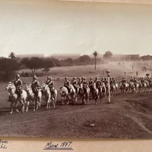
MHOW, Central India. A British cavalry regiment, circa 1887
£36.00 Add to cart -
Staff College, Camberley, late 19th century photographs
£40.00 Add to cart -
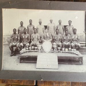
Indian champion regimental sports team with trophies, 1924
£16.00 Add to cart -
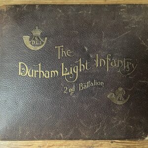
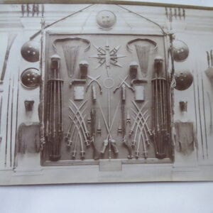
Durhaam Light Infantry . a photographic record of the 2nd Battalion in India in 1897
£260.00 Add to cart