

")
")
Mount Everest. Official Government facsimile of the first 1930 map of Everest.
POA
The First Published Map of Mount Everest. Surveyor General of India, Government of India 1990
An official facsimile of the map on a scale of 2 miles to one inch originally published by the Survey of India in 1930. Printed on stout map paper 23 x 23½ ins [58 x 58.5cm] the map is clean and sound and folds down to 12 x 6 ins . jul20/1 SOLD 27th May 2026
Sold
Related products
-
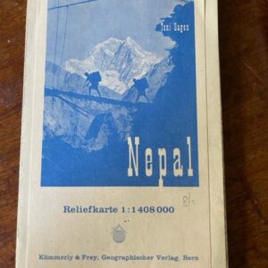
NEPAL. A handy folding relief map of the country, late 20th century
POA Read more -
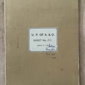
NAINI TAL & GARHWAL 1 inch map of 1894 in use by a hunter in the 1940s
£55.00 Add to cart -
Sale!
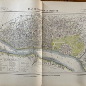
CALCUTTA. A city plan of 1881
£70.00£55.00 Add to cart -
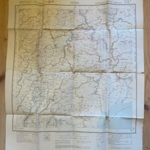
BURMA. Folded paper map No. 85 P MA-UBIN Survey of India 1926
£20.00 Add to cart