



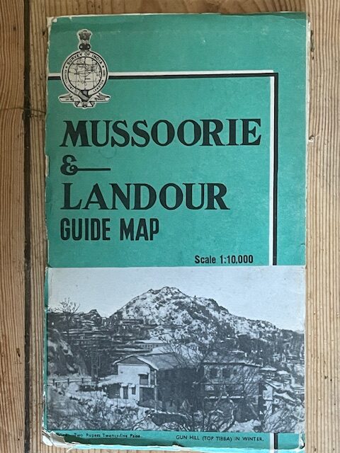
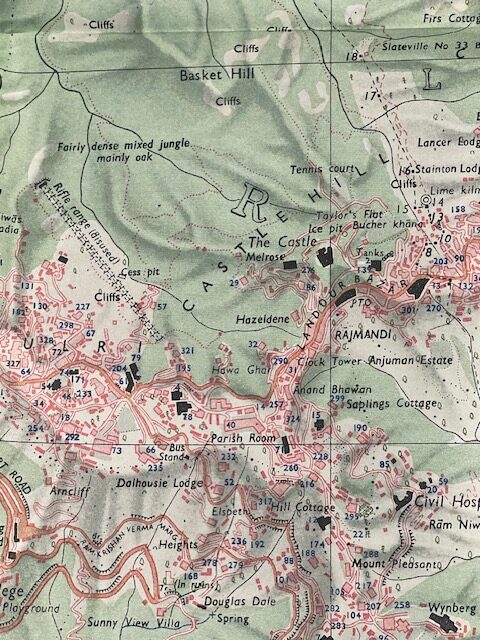
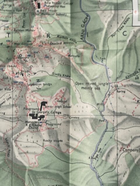
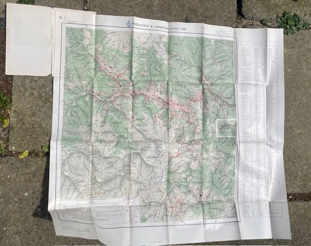
MUSSOORIES & LANDOUR. Large scale folding coloured map of the former hill stations by the Survey of India, 1968
£18.00
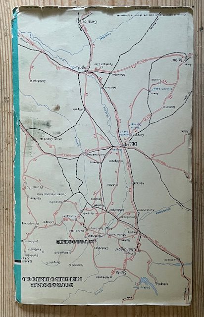
Mussoorie & Landour Guide Map. Scale 1:10,000. Survey of India 1968, Govt. of India. The large folding paper map is in very condition with just one small split in a fold of the index, spine of the card covers. It extends to 34 x 46ins approx and folds down into the original decorative card covers which is worn and splitting along the spine, 10½ x 6 ins. These were both important hill stations during British years and now form part of an important tourist area.
. may30/6
1 in stock
Related products
-

Large scale 1 inch map of parts of Surat, Broach, & Baroda, 1879 revised to 1901
POA Read more -
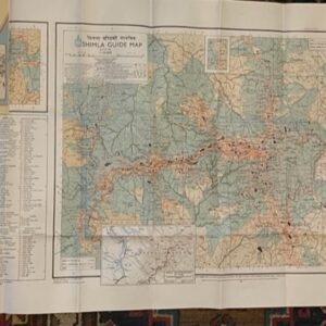
SHIMLA. A large scale guide map. surveyed in 1968
£35.00 Add to cart -
INDIA. Road map on a scale of 1 inch to 50 miles, printed around the time of independence
POA Read more -
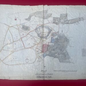
DHARWAR. Hand drawn detailed map of an Indian military station , circa 1850/60.
£500.00 Add to cart