- Sorry, this product cannot be purchased.
Sale!
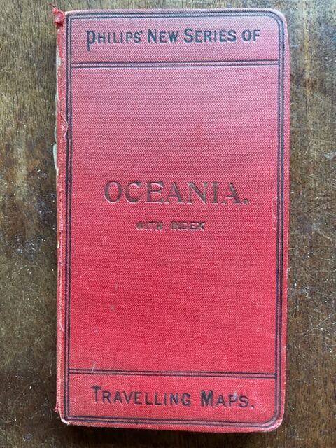
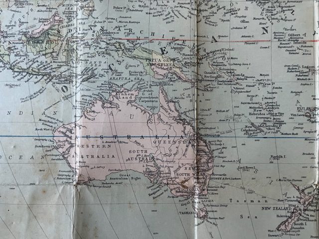
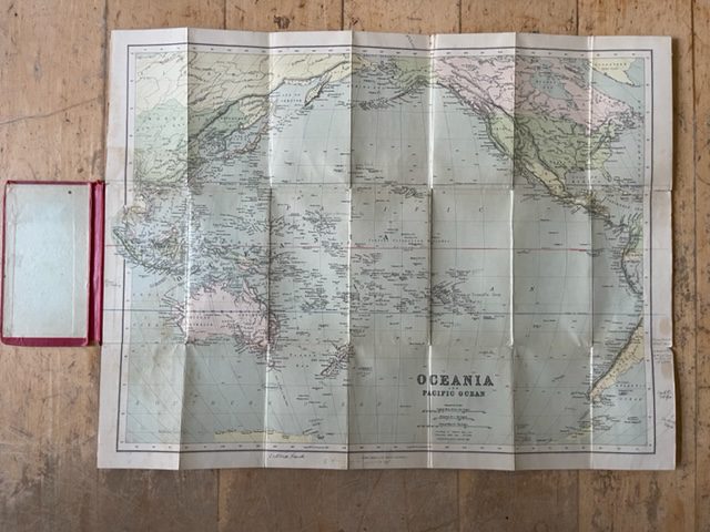
Oceania and Pacific Ocean,travellers an early 20th century travellers’ map by Phillips
£30.00 £25.00
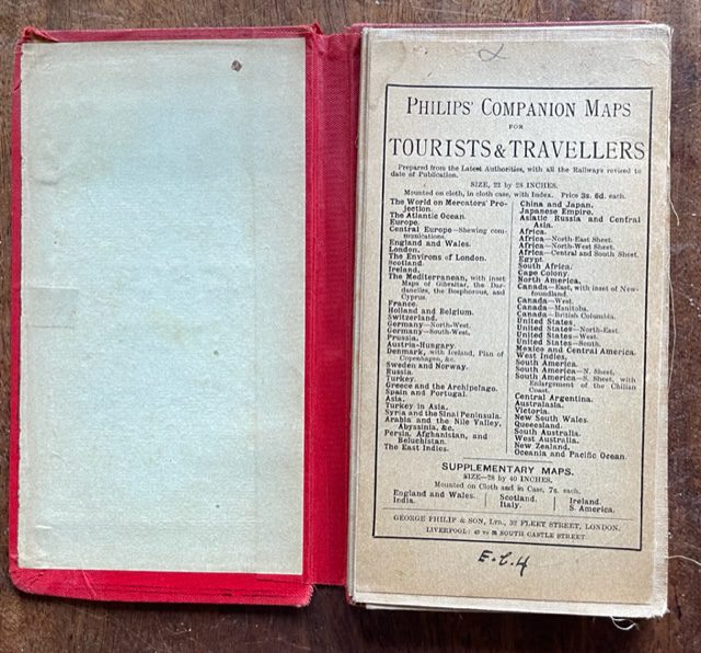
Oceania and Pacific Ocean. George Philip & Co. Ltd. [London].undated but probably pre 1920 as the advertisements mention the Austro-Hungarian Empire.
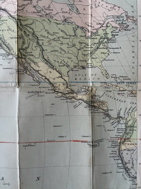
A coloured, linen-backed map, 26½ x 19½ ins, folding down in 21 plates into original red cloth boards 7¼ x 4 ins, spine worn with some loss of coloured cloth, internally sound, a couple of small holes at intersections of folds and some old marginal pencil notes. The map extends from Sumatra in the west to the West Indies and coast of Equador in the eaxt and from the Arctic Ocean and Greenland in the north to Clarke Land and Adelie Land in the south. This map covers an area not often found in folding maps. The binding states With Index but there is none and no signs of one having been removed. sep17/1
1 in stock
