

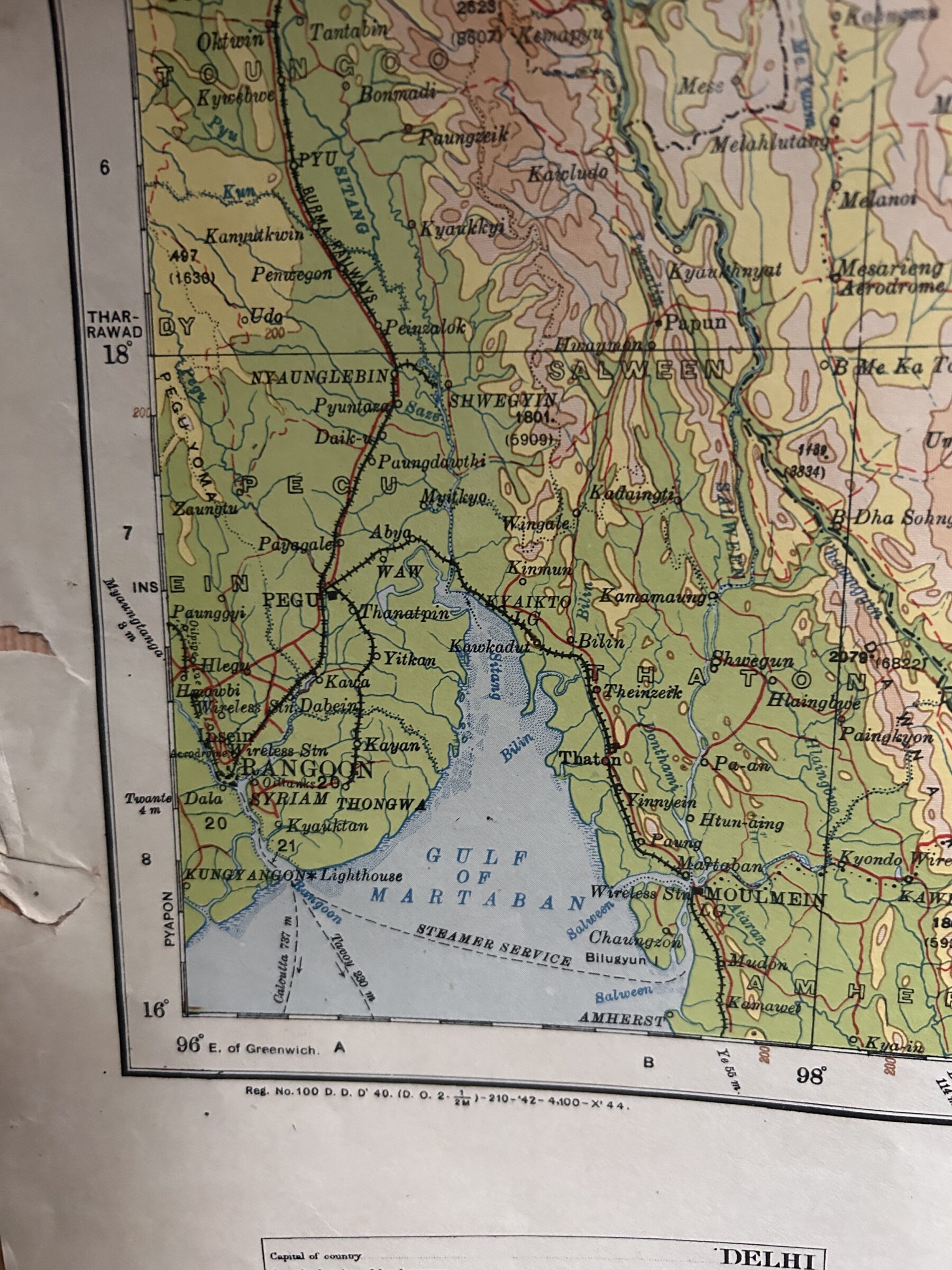
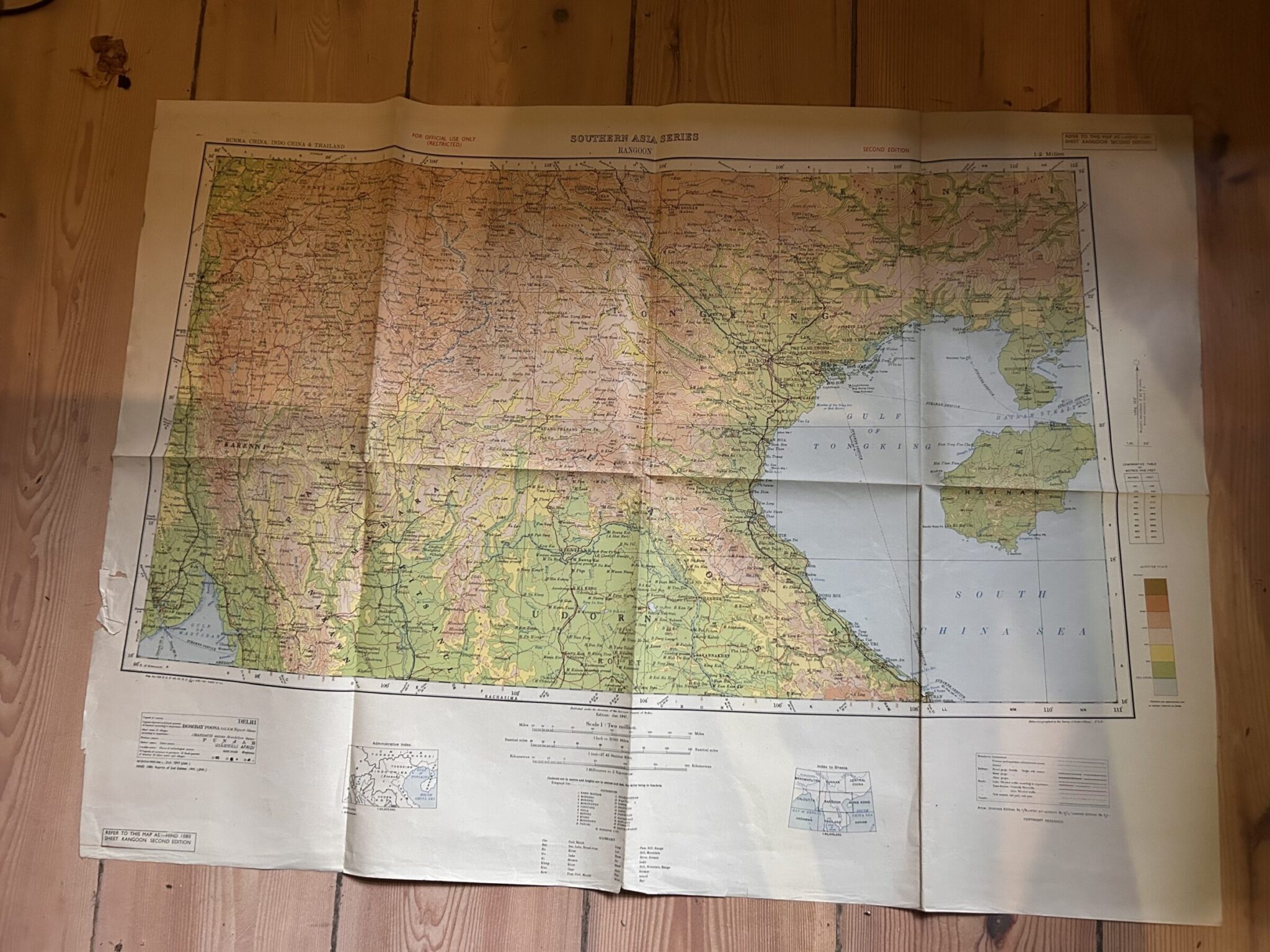
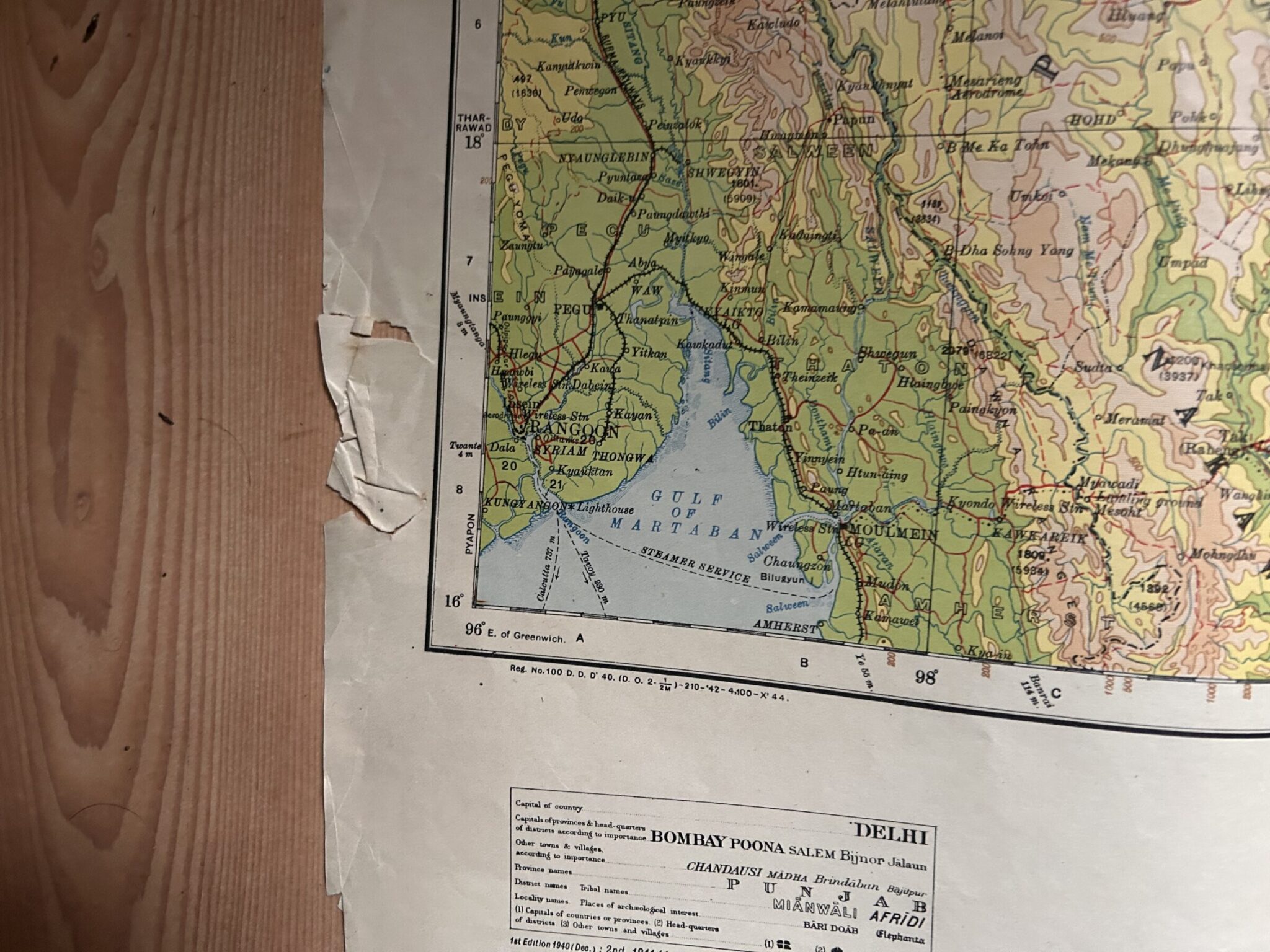
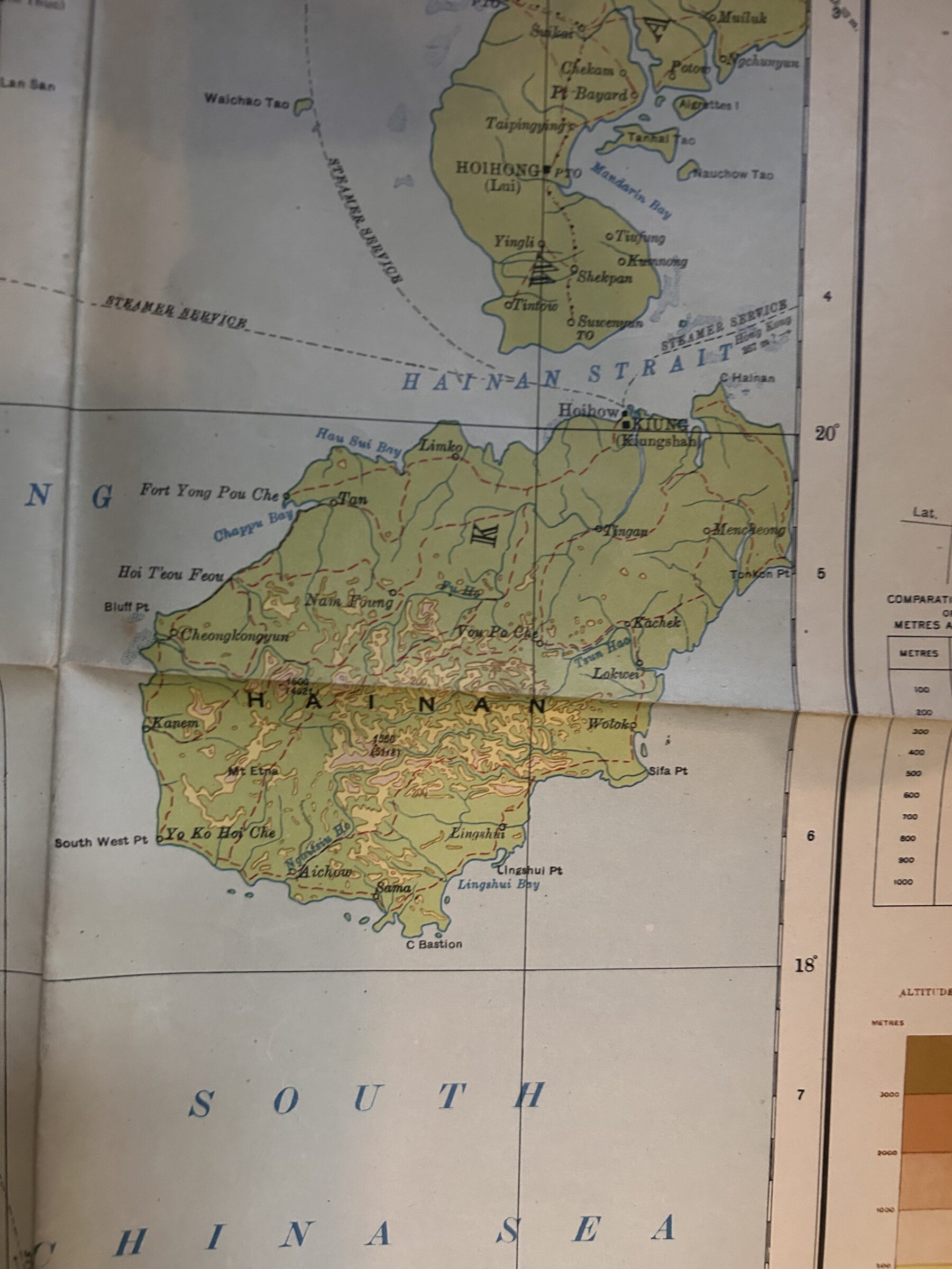
RANGOON, A coloured folded map of 1941 in the Southern Asia Series.
£24.00
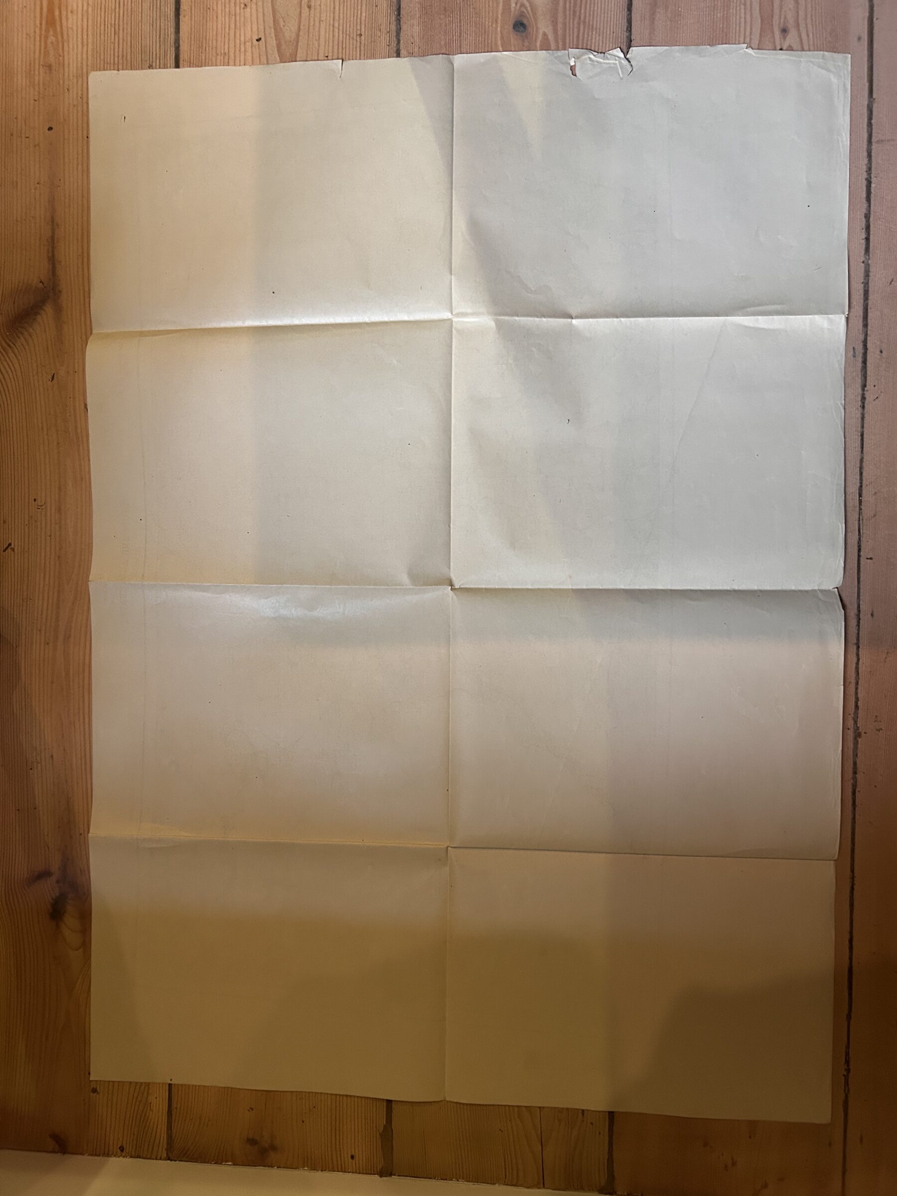
RANGOON. WW2 Period. Map no HIND1080 Sheet Rangoon Second Edition. A folded coloured map, measuring 35.1 by 25.4 inches [89.6 by 64½cm] ,on a scale of 1 : Two Million. Burma, China, Indo China & Thailand. Published under the direction of the Surveyor General of India, 1941 Second Edition. The map extends from Kwangsi in the North to Rangoon in the South West and Hainan in the East. The map is folded down to a size of 9 by 12.7 inches. There is some damage to the lower left margin. Nov16 /3.
1 in stock
Related products
-
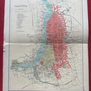
CALCUTTA. A coloured plan of the city as it was in 1909.
£20.00 Add to cart -
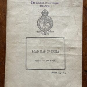
INDIA. Road map on a scale of 1 inch to 50 miles, printed around the time of independence
POA Read more -
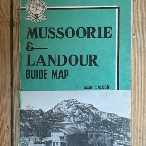
MUSSOORIES & LANDOUR. Large scale folding coloured map of the former hill stations by the Survey of India, 1968
POA Read more -
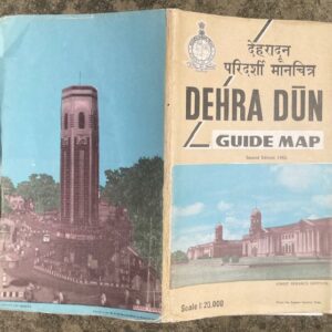
DEHRA DUN. Large scale folding coloured map of the town and area by the Survey of India, 1982
£25.00 Add to cart