

Folding maps other than India
Showing 13–24 of 44 results
-
Sale!
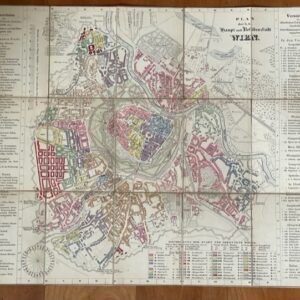
Folding, coloured city plan of Vienna, c 1830s
£180.00£160.00 Add to cart -
Sale!
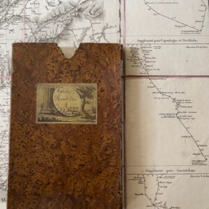
FRANCE. A folding route map of 1828
£125.00£110.00 Add to cart -
Sale!
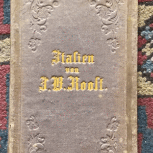
German map of Italy on two sheets in one binding, 1853
£110.00£90.00 Add to cart -
Sale!
German map of Nassau and neighbouring states.
£90.00£60.00 Add to cart -
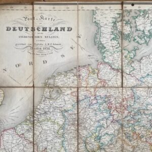
Germany, an 1838 folding map of the area and bordering states.
£95.00 Add to cart -
Sale!
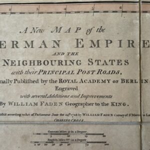
GERMANY. A London printed map of 1788 by William Faden
£125.00£110.00 Add to cart -
Sale!

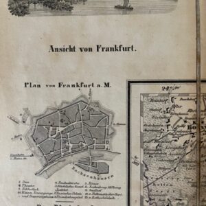
GERMANY. Folding map by F.M. Diez in original slipcase, 1825
£125.00£110.00 Add to cart -
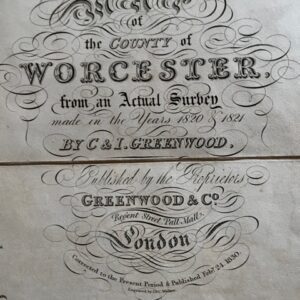
Greenwood’s map of the county of Worcester, 1830
POA Read more -
Sale!

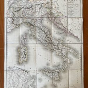
Italy. A good folding map of the whole of Italy and Switzerland, 1836. Printed in French and published in Paris.
£180.00£150.00 Add to cart -
Sale!
ITALY. A route map of Italy, published in Paris in 1824
£190.00£170.00 Add to cart -
Sale!
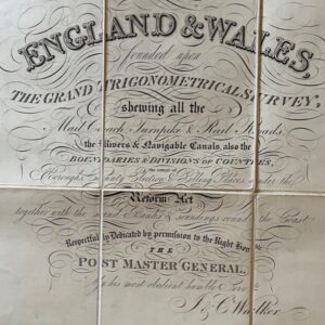
Large folding map of England and Wales with Scotland as far north as Cupar in Fife.
£125.00£90.00 Add to cart -
Sale!
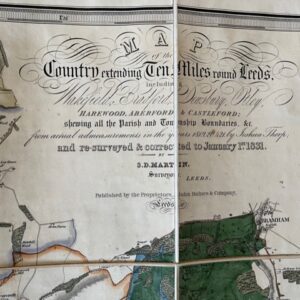
LEEDS. Martin’s large scale map of the area around the Leeds, printed in 1831
£650.00£590.00 Add to cart