

Folding maps other than India
Showing 25–36 of 44 results
-
Sale!
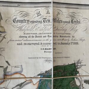
LEEDS. Martin’s large scale map of the area around the Leeds, printed in 1831
£650.00£590.00 Add to cart -
Sale!
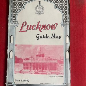
LUCKKNOW. Large scale folding coloured map of the city by the Survey of India, 1973
£40.00£35.00 Add to cart -
Sale!
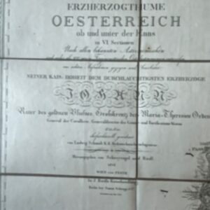
Map of Austria from the Napoleonic period, dated1814
£400.00£350.00 Add to cart -
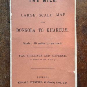
Map of route from Dongola to Khartum with Kitchener’s Report, 1884
£80.00 Add to cart -
Sale!
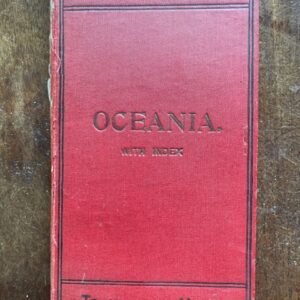
Oceania and Pacific Ocean,travellers an early 20th century travellers’ map by Phillips
£30.00£25.00 Add to cart -
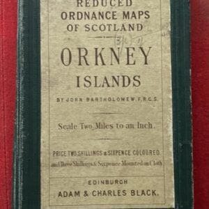
ORKNEY ISLANDS. Folding reduced Ordnance folding map
POA Read more -

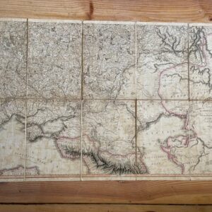
Railway Map of Middle Europe, 1873, with German text.
£40.00 Add to cart -
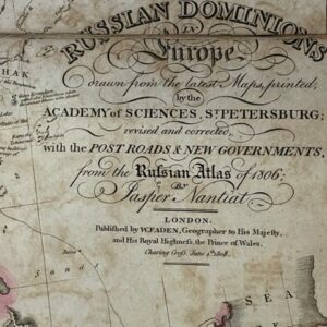
Russia in Europe, sheet 2 showing the lower half in the Napoleonic period 1806-8
£225.00 Add to cart -
Russian map of 1806, the lower half only of a good map from the Napoleonic period
£45.00 Add to cart -
Sale!
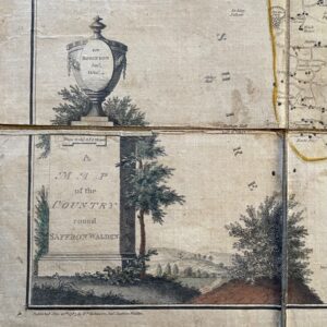
SAFFRON WALDEN. Robinson’s folding map of this Essex area, 1787
£90.00£70.00 Add to cart -
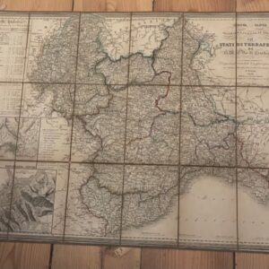
SARDIN IA. a partially coloured folding Italian map of the Kingdom of Sardinia, 1851
£60.00 Add to cart -
Sale!
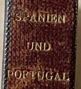
SPAIN & PORTUGAL. A German map of 1885
£65.00£45.00 Add to cart