Sale!
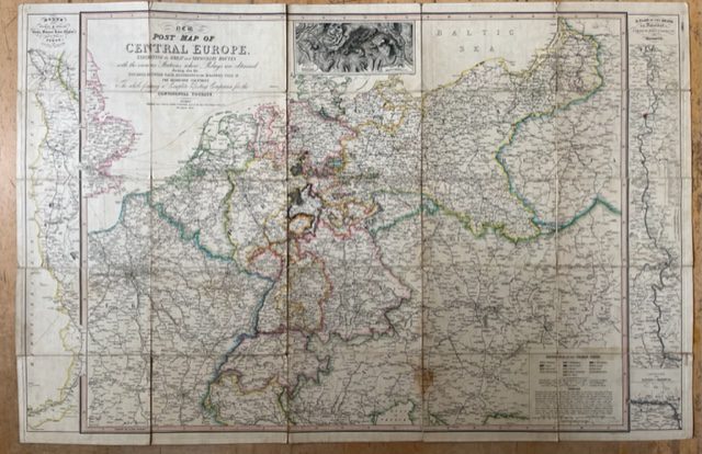
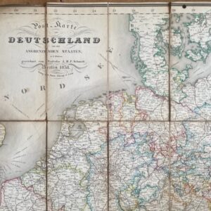
CENTRAL EUROPE. A George IV period post map for the Continental Traveller, 1827
£150.00 £130.00
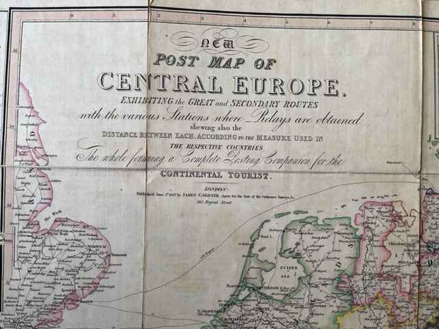
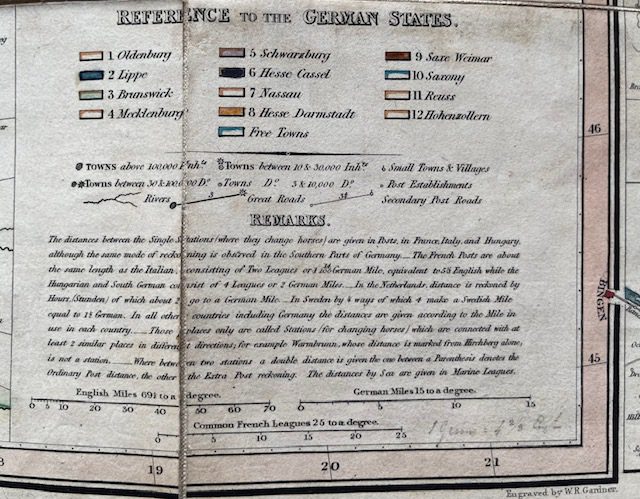
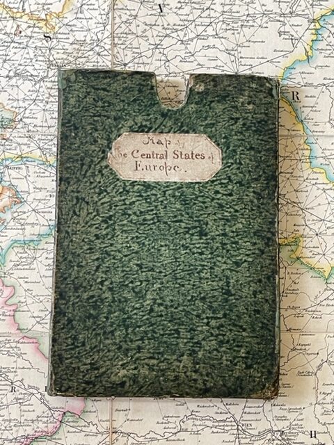
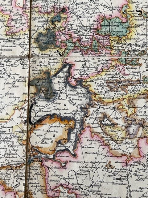
New Post Map of Central Europe. Exhibiting the Great and Secondary Routes with the various Stations where Relays are obtained, shewing the distance between each, according to the Measure used in the Respective Countries. The whole forming a Complete Posting Companion for the Continental Tourist. 1827 John Gardner [London].
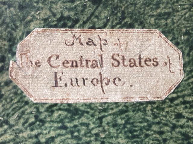
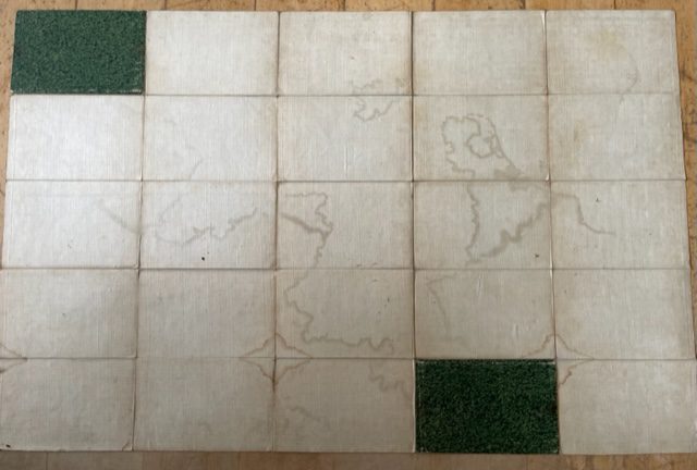
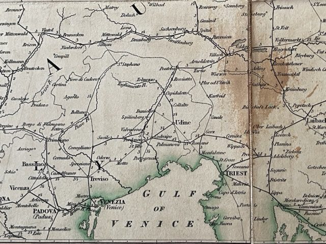
Folding, dissected, linen-backed map. 39½ x 25¾ ins, coloured in outline and folding down in 25 plates to 7¾ x 5¼ ins and fitting into the original slipcase with contemporary hand written label Map of the Central States of Europe. The map is in good, generally clean condition with one brown stain just north of Trieste. It extends from Rouen and Limoges in the west to a little east of Warsaw and from the Baltic to the Gulf of Venice. The left side of the map shows Route from Turin & Milan to Genoa, Florence, Rome, Naples and the South of Italy and the right side has A Plan of the Rhine from Dusseldorf to Cologne, Bonn, Coblentz, and Mayence. Helpfully for the traveller towns are identified by their local name with the Englidh version beneath – as Wien (Vienna). sep11/1
1 in stock

