


Greenwood’s map of the county of Worcester, 1830
POA
Map of the County of Worcester, from an Actual Survey Made in the Years 1820 & 1821 by C & I Greenwood Published by the Proprietors Greenwood & Co, Regent Street, Pall Mall, London. Corrected to the Present Period & published Febr. 24 1830. 1st edition.
An attractive folding map engraved by Walker, with contemporary colouring, dissected, linen-backed, on a scale of 3 miles to 1 inch, unfolded size 25 x 29 ins [75 x 63cm]. The map, which is edge bound in green linen, is in good condition, with an engraving of Worcester Cathedral to the lower left corner and shows the hundreds of the county. It folds down to a size of 10 x 6 ins [15 x 24cm. It retains the contemporary msarbled paper covered card endpapers and a small printed label WORCESTERSHIRE to the top where it would have originally occupied a place in a case of similar county maps. The verso of one plate has a probably contemporary ownership sugnature John Fletcher. A good view of the county just before the railway age. One of the additional images shows Cheltenham with its link to south Worcestershire We are based on that road, now the A435, and it is a quick link to friends in the next county north. mar2/3 SOLD 13th November 2024
Sold
Related products
-
Sale!
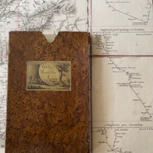
FRANCE. A folding route map of 1828
£125.00£110.00 Add to cart -
Sale!
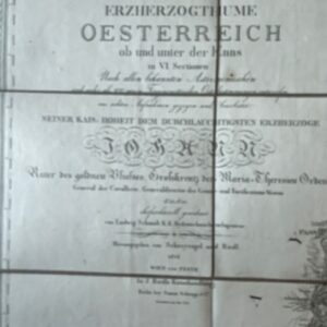
Map of Austria from the Napoleonic period, dated1814
£400.00£350.00 Add to cart -
Sale!
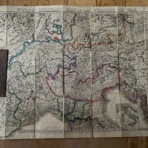
Wyld’s Military Map of the Theatre of War. circa 1850s
£175.00£145.00 Add to cart -
Sale!
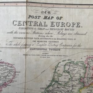
CENTRAL EUROPE. A George IV period post map for the Continental Traveller, 1827
£150.00£130.00 Add to cart