

")

")
")
Kashmir & Jammu, Punjab & Punjab States, 1 inch map No 43 P/15
£15.00
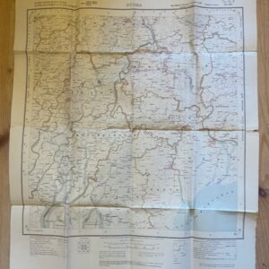
Kathua District, Gurdaspur & Kangra Districts, Chamba State. Survey of India [Calcutta] 1920.
A linen-backed, undissected, fully coloured map on a scale of 1 inch to 1 mile surveyed 1916-18. The map, 17 x 23 ins, has been rather roughly folded to a size of 8½ x 5½ ins and there are a very few small holes in the folds. It includes the town of Bakloh near the northern edge and Nurpur towards the south. sep19/1 RESERVED 16th February 2023
1 in stock
Related products
-
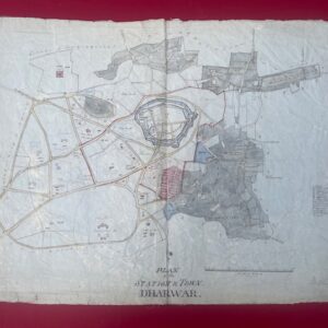
DHARWAR. Hand drawn detailed map of an Indian military station , circa 1850/60.
£500.00 Add to cart -
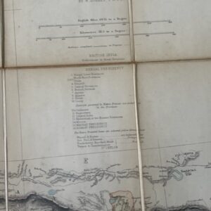
NORTH INDIA. A folding map of the 1880s
POA Read more -
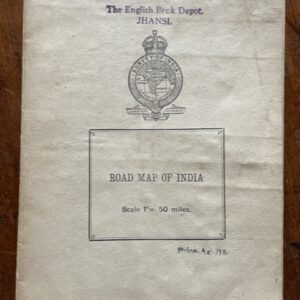
INDIA. Road map on a scale of 1 inch to 50 miles, printed around the time of independence
POA Read more -
BURMA. Folded paper map No. 85 P MA-UBIN Survey of India 1926
£20.00 Add to cart