

India - folding maps
Folding maps of India and the Indian Empire for the traveller or the gentleman’s library. These are just being added from March 2022 and the category will also include maps of Central Asia and Turkestan. Another category displays maps of other countries and cities. Last Updated 23rd August 2026
Showing all 12 results
-
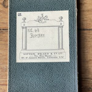
BOMBAY. Folding map of the area inLnd from the city of Bombay
£18.00 Add to cart -
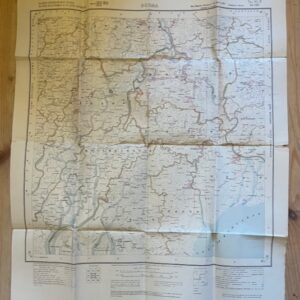
BURMA. Folded paper map No. 85 P MA-UBIN Survey of India 1926
£20.00 Add to cart -
Sale!
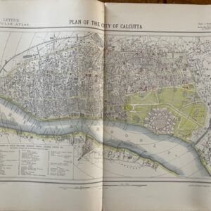
CALCUTTA. A city plan of 1881
£70.00£55.00 Add to cart -
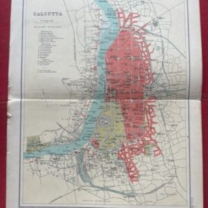
CALCUTTA. A coloured plan of the city as it was in 1909.
£20.00 Add to cart -
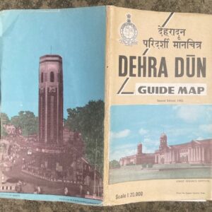
DEHRA DUN. Large scale folding coloured map of the town and area by the Survey of India, 1982
£25.00 Add to cart -
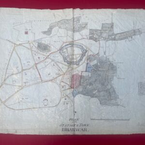
DHARWAR. Hand drawn detailed map of an Indian military station , circa 1850/60.
£500.00 Add to cart -
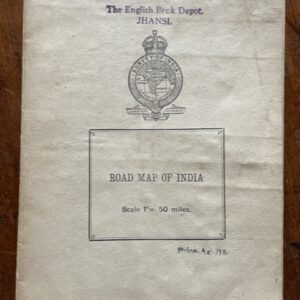
INDIA. Road map on a scale of 1 inch to 50 miles, printed around the time of independence
POA Read more -
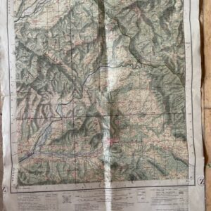
Kashmir & Jammu, Punjab & Punjab States, 1 inch map No 43 P/15
£15.00 Add to cart -
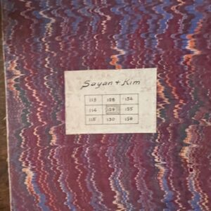
Large scale 1 inch map of parts of Surat, Broach, & Baroda, 1879 revised to 1901
POA Read more -
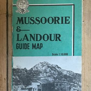
MUSSOORIES & LANDOUR. Large scale folding coloured map of the former hill stations by the Survey of India, 1968
£18.00 Add to cart -
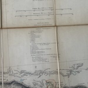
NORTH INDIA. A folding map of the 1880s
POA Read more -
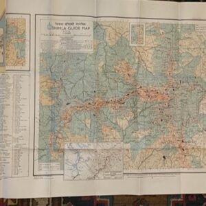
SHIMLA. A large scale guide map. surveyed in 1968
£35.00 Add to cart